Employment, DOT, Court Ordered, Probation, Family
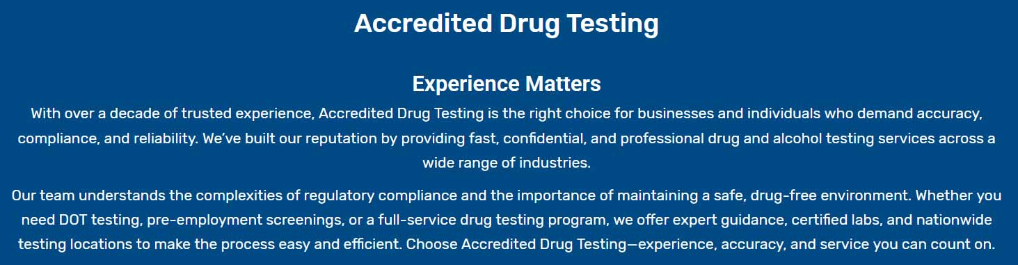
Accredited Drug Testing delivers extensive drug and alcohol assessment services at our 35 testing facilities in the Laureles, Texas vicinity. We administer both DOT and non-DOT urine screenings, breath alcohol evaluations, EtG alcohol testing, along with hair drug analyses for personal, corporate, and legal purposes. In Laureles, TX, we facilitate rapid testing and SAMSA-certified lab evaluations, offering same-day service. Most drug testing sites in Laureles are conveniently located near you. We also provide Occupational Health Testing, Clinical Testing, and Background Checks.
Contact us at (800) 221-4291 or enroll through our website. Just pick your test type and select a convenient location—services are available for personal use, employees, or others. Test scheduling is Simple and Swift; you can either reach our booking team or arrange your test online at any time. With our efficient and straightforward system, organizing drug assessments near Laureles is seamless.
* You must register by phone or online to receive your donor pass/registration prior to proceeding to the testing center. You must bring a valid government issued ID along with the registration/barcode number which was sent to you by email.
When you're searching for drug testing near me or drug testing locations, we provide a simple and convenient
process to find a drug and alcohol testing location near you that is certified to provide all of your drug
and alcohol testing needs.